A few articles ago I shared some of the apps that we use to help save money on fuel while RVing. In this article I am going to share the ones we use to navigate our trips.
Google Maps
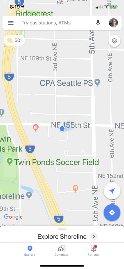
The first app is Google Maps. Who doesn’t or hasn’t used Google Maps? It works really well. And with street view and satellite view you can get a look at places to see if they are RV friendly. Of course, you do have to watch out for some of the routes it tries to give sometimes. It can leave you scratching your head going “what the heck was it thinking”.
Apple Maps
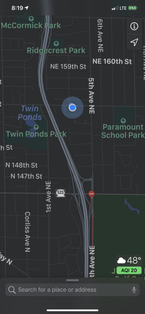
Apple Maps is much the same as Google Maps. Angelica and I carry iPhones and have both Apple and Google maps installed. It’s kind of flip of a coin as to which one we’ll use. I don’t know of many benefits of one over the other.
Allstays Camp & RV
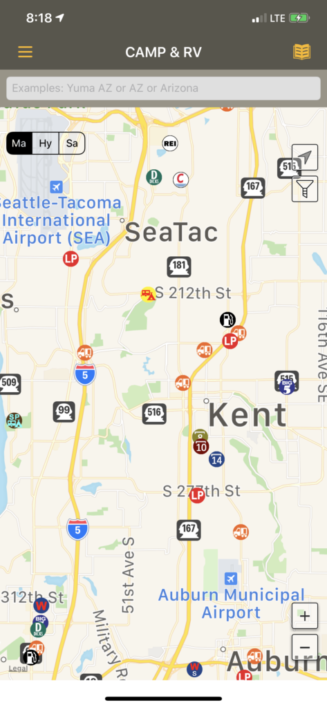
The Allstays Camp & RV app is a great tool to have for RV navigation. The app does not route your navigation like Google and Apple maps do. But what Allstays does do is show you bridge heights, campgrounds, places to overnight, plus places to find fuel and more. To use the app you first use your navigation app of choice to get your route. Then go over to the Allstays app and check your route on it. Having navigation would make the app better, but at $9.99 its still a great tool to have.
Co Pilot
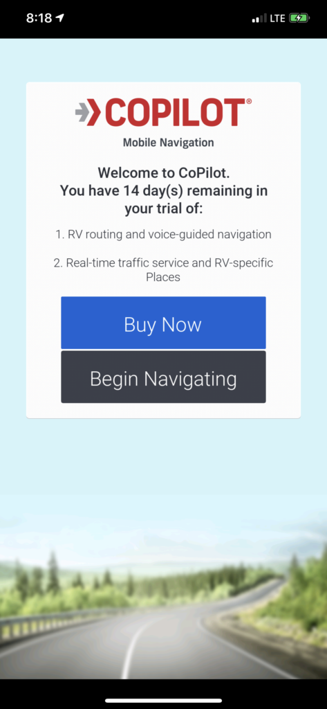
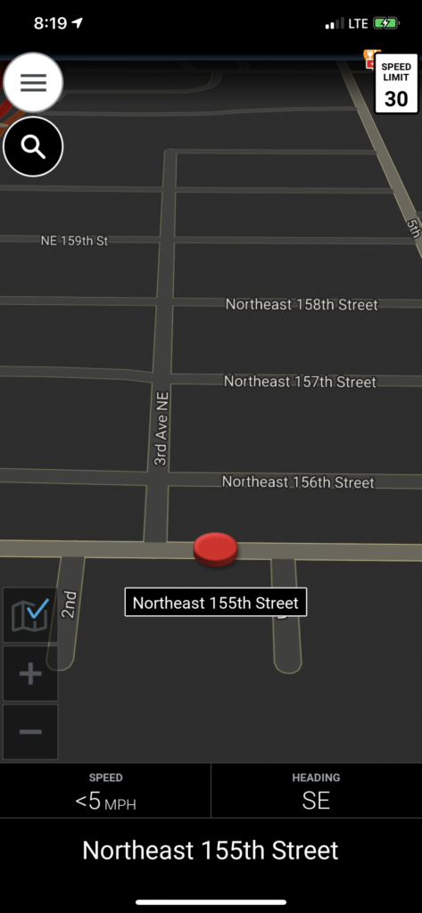
Co Pilot is another navigation app that has a free version but also an RV and trucker subscriptions available. These subscriptions allow you to enter your RV’s height. So you won’t be routed into low bridges and the sort. The RV subscription cost $29.99 a year and the trucker is $89.99 a year.
Conclusion
These are some of the apps we have used for navigation. What are some of the ones you use?
Please Like and Share us on social media! Also, subscribe to our email list to stay up to date on new posts! Please leave a comment telling us what you think.


